Monday, May 27, 2019

Project Completion and Wrap-up

Parkland Place Based Shared Map Project Outcomes Report

Parkland has had a lot of fun with our shared Map making project this school year.  We enjoyed the opportunity to learn a lot more about Maps in general, and specifically, Google MyMaps, collaborating with many different classes, as well as many fun opportunities to get out into our local environment and explore the beautiful nature that surrounds our Saanich Peninsula.

Our project involved a core team of Erin Stinson, Aaron Mueller and Shannon Crawford as we worked throughout the school year with different classes, groups and events to try and continually add to our Shared Google MyMap.

Our key goals for this project were to involve the Geography classes at Parkland, as well as Marine Science classes, our Outdoor Education classes and our local Indigenous community.  We specifically also tried to include our Indigenous Education team, our Indigenous students and local community Elders to try and continue working on the map to find ways to capture the local place names, as well.  We still have grand ambitious plans for our map and look forward to continuing our work on this map year after year.


The curricular goals for this project were to teach students about Map making, layers of maps, perspectives on maps and ways to use digital maps to teach about the local environment.  We also wanted to teach our students about important places around our environment and to raise awareness about issues related to our local environment.

The outcomes for the project were to create a digital map of our local environment that had many layers, showcasing many perspectives and capturing many 'lenses' of our local place based part of the world.

We have designed this project and map to live beyond this year and to continue to keep growing and developing as we include more classes, more events and more layers.  Our goal is to continue evolving, adapting and growing our map to be a living artifact as a part of our school community.

To the left (and below on our embedded map), you can see some of the specific layers of the map we are building, including:
  • Biology Layer
  • Geography Layer
  • Indigenous Layer
  • SD63 Schools Layer
  • Marine Science Layer
  • Community Events (Beach Cleanup) Layer
  • Favourite Places Layer


Using and collaborating with Google MyMaps has been relatively simple and straightforward.  Our district uses the G-Suite set of tools and this integrated very well with Google MyMaps.  We were able to create and share the main Map with classes using Google Classroom, which kept the sharing and collaborating easy.  Google MyMaps allows you to centre your personalised map on one key area, and add as many unique layers over top of your base layer.  You can use Satellite imagery, topography maps, or other unique perspectives of the Saanich Peninsula.

We did some instruction on how to access the map, how to add points of interest, upload photos, and add shapes and locations to our map.  Overall, this tool was quite easy to implement and we focused on only a few key simple features.

We hope to continue to add new layers and more perspectives that will be captured on the map, as well as involve more classes, more groups, more trips, events and local indigenous knowledge.  

Our final version of the map for this school year is below.  It is still a work in progress, but it is a great demonstration of the capabilities, opportunities and progress we have made this year.


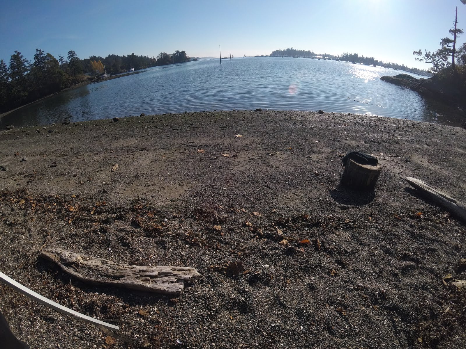
As well,  we have one final video from our last outdoor event of the year, a Beach Cleanup session where we took a few classes to our local beach and cleaned up a whole pile of plastic, garbage, cigarette butts,  foam and even an old tire.  In the video below, we practised using the GoPro cameras, capturing footage of our walk and clean up.

During this last lesson, we taught some students some of the basics of using the GoPros, transferring media over to the Macbooks, loading up the media into iMovie and then doing basic editing, speeding up clips, adding some music and publishing our final videos!


Some of the biggest challenges we faced in this project was time.  We were always behind where we wanted to be.  To start, we had to wait for 2 whole months (Sept and Oct) to even receive our equipment to begin working with the classes.  Our SD63 IT department is not staffed enough to facilitate these grants and it was quite a frustrating start to the project.

We also had challenges around the weather, as just when we finally received our equipment, the weather turned and it was not very appropriate to be taking our classes outside into the environment with our computers, GoPros and other electronics.

As well, we had challenges in getting Teachers of different subject areas we were working with to give up their precious classroom time to our project as they had important curriculum that needed to be covered. 

Finally, it was a challenge for us to connect and support more participation from our local Indigenous population as communication and collaboration were difficult to organise and implement.

All that being said, we are feeling this was a very valuable project that is just getting started.  It was always meant to be a multi-year project and one that we would build upon year after year.  This collaborative map is a project that keeps on giving and we hope to add more and more layers to our Parkland Place Based Map for many years to come.

Our key recommendations for teams looking to create a similar project would be to start early, involve as many classes as possible and collaboratively plan as a teacher group to set aside student work time.   Work smarter with tools like Google MyMaps which allows you to share and collaborate on one map together, enabling the co-creation and shared perspectives on your local environment.  Create backup copies of your maps in case anything gets accidentally deleted or lost.  Always back up your captured footage and media so that you can re-access anything that may have been lost or misplaced.  


Tuesday, April 23, 2019

Community Involvement

Community Involvement

Community involvement has been a big goal of this project from the start.  We saw this grant as an opportunity to involve more students, more classes, and more community members to get engaged with Geography, map-making and connecting with our local environment.  We hope that this will raise awareness, provide understanding and help gain a new perspective on our local environment and special place in the world.

We have been planning for some field trips, hikes, adventures and outdoor opportunities that will include talks with local elders from the WSÁNEĆ communities that surround and support our school community and involve our students and support staff.  In April and May, the goal will be to get outdoors, look at some of native plants, learn about some of the sustainable food practices, local hunting and fishing and important cultural spots around the peninsula.

We have a local map of all the place names in the SENĆOŦEN alphabet that will be added as a layer onto our map.  Here is a copy zoomed into the peninsula:


Project Update

Project Update


Our project progress was a little slow this month as we only really had a couple of weeks, and then Spring Break.  Our main class we are working with this term spent the time learning all about crafting evidence based essays, so we were focused on that inside and did not have much time for our map making project.    Our hope is to hit the ground and get outside starting in April, when the weather we will be nicer (we had a lot of snow the last few weeks!).

We hope to get outside, capture some footage and begin training some of the new students in how to do the video editing and manipulating of our content to built and create small little artifacts to add to our map.    In concert with our other update this month, we also hope to add a new Indigenous layer to the map with local SENĆOŦEN names and important places labelled on the map.

Personally, I have been working on a recreation of the Saanich Peninsula, and Southern Vancouver Island in a simulator called City Skylines.  Here is a small video tour of the Victoria and the Saanich Peninsula area below.  This simulator allows you to import any map from around the world and then begin building your city, infratrstructure and services.  It is not a 1:1 recreation, but it allows us to create an interactive version of the map, and to learn about different impacts on the region.  Check it out:


Tuesday, February 26, 2019

Assessment in our Map Making Project

Student assessment in our Synergy Project:

Students will be assessed on their contribution to the Google community map, as well as through their own written reflections on connection to place. Each student has done a practice post on a non-public copy of the map to ensure that they can manipulate the technology and has begun to brainstorm a list of local places that they connect to. Written reflections (or video reflections) will occur on student-created blogs that can then be linked to their uploaded map photos. The Geography 12 students have specific learning outcomes that describe interconnections between humanity and the natural environment and they describe these connections in their blogs.Project assessment:


As with all large multi-disciplinary projects, ours continues to evolve as new students become involved and new ideas emerge. It was designed to have this flexibility which allows us to adapt quickly.  Each time we have one of the Synergy group phone calls with the other schools, our Parkland team meets to review the current moment of the project and make recommendations for the coming month. This has been helpful to identify both problem areas and what’s working well.  Our current difficulty is finding ways to incorporate Indigenous students and community members


Feb Project Update

Practicing with our Map!
With our new semester, we have the Geography 12 students taking on the caretaking of the map and we started practicing on a draft version of the map.  We had students walk around the school taking photos to then add to our map.  We also had students add points of interest, create new layers of food, schools, businesses and fun spots.  They got to practice with labels, shapes, distances and media.  Overall, everyone feels much more comfortable with using the map and contributing to the map. 


Parkland VR Tour

Also at Parkland, we have been looking at ways to share our school digitally, and connect the inside with the outside on our Map we have been building.    It is easy for us to add pictures, videos and links on our shared google maps, with layers and labels, showing the environment around our school.


However, to get into our school and see inside our programs, spaces, shops, theatre and library, it is a little more challenging.  Satellite imagery does not show inside our school, nor does google street view.  We needed to find another solution to help others see inside our school.


With the help of a few students and staff, we were able to go around the school and take special photos called "Photo spheres" that are available on most smartphones.  This is a photo that is made up of many photos in all directions stitched together to form one seamless photo capturing all around you.  They are effective for capturing a sense of space and distance, as well as a fun opportunity to embed some 'easter eggs' in the different scenes.
Below is our "Tour" which is put together using the Google Tour Creator.  This is  great tool to create your own Virtual tours using a combination of Photospheres and Google Street view.  There are also many more Virtual Tours that others have published and shared that allow our students to explore around the world and in many digital environments.


Check out this 10 'scene' virtual tour of Parkland Secondary and get a glimpse of inside our school.


Friday, January 18, 2019

January Update

January 2019!


Image result for january

Here we are in 2019!  At Parkland, we are a semester based school and so are wrapping up our Semester 1 classes and looking ahead to our Semester 2 classes.  We have many good things to look back on from this first semester including working with our Marine Science class, our Outdoor Education class, and our Marine Biology class as they explored our local marine environment, took photos, videos and time-lapses to showcase our local beaches, harbours, Goldstream park, and nature.

We have big plans for this next semester, with new Geography, Outdoor Education, Marine Science and other classes that will be out exploring our local environment, hopefully with some better weather, less rain and more sun!  We plan on also working with students closely in learning how to edit and publish our photos, videos and compilations and adding to our shared google map.

Our Map is coming along as well, with small additions and ideas for adding our local SENĆOŦEN place names, descriptions and important places to the map.


Artifact Development

Artifact Development

Creating and developing digital artifacts takes time, pre-planning and many different dependencies, like creation software, publishing support and vision.  

We are working towards training our students on how to use iMovie, basic image manipulation, storage, archive, and retrieval of our assets and finally, how to share and publish our artifacts.

So far, we have created special 360 degree photos that capture all around you, giving an immersive experience.  Feel free to use your mouse to look around you in this photo below of Mackenzie Bight, a beautiful inlet on the Saanich Peninsula, near Brent wood Bay


We have also created a time-lapse Canoe trip through our local marina and harbour, near Sidney BC:


Finally, we have our shared Google Map that we have been adding different Layers to, place names, pictures, videos and other artifacts to embed right on our shared map:


Being able to embed these artifacts directly on our Blog is super helpful for sharing, distributing and telling our story of our project.  We can also store these artifacts in our Google Team Drive, as well as allow team members to share and add things to the collection.

Our plans for future artifacts include more videos that are edited, have interviews with local elders and other members of our community, as well as short time-lapses of trips and changes in our environement.

The coming spring, and the change in weather will allow us to develop, capture and share more artifacts as we will be spending more time outdoors and working with more classes.

Finally, we hope to continue this project next year, so we can work on capturing more seasons and more changes in our local environment.


Monday, December 17, 2018

December Update


This is always one of the busiest months for our school and classes and finding opportunities to contribute and add to our Parkland Place Based Map has been difficult. We have been organising our equipment, finding and discussing opportunities for the new year to get back out and to continue to collect our images, videos and media.

The weather also makes it hard for the classes to get outside and to be in nature.  Its been cold and rainy over here and so there have been a few cancellations and postponements of activities until some better weather shows up.

We have also taken this time to organise our Google Drive to store and archive footage, images and content from our field trips into Teacher Folders, and then in Dated Folders


This is going to help us a lot later in the year when we need to find images, videos and other media quickly to publish and share to our Google My Maps.

Overall, December has been busy, but we've made lots of behind the scenes progress.

Software, Apps and Extensions with our SETBC Grant

Having the software available to support your goals is essential for a successful project.  Our main software for the project has been to use the following applications and apps:


1) iMovie on our Mac Laptops, which allows us to import our pictures, videos and other content (time-lapse) from our GoPro Cameras onto the laptop for editing and publishing.  We have been using this pretty effectively so far, to create simple videos to publish on youtube, to capturing time-lapse videos and then to speed them up, like this video here:


2) We have also been using the GoPro Apps (Android and Apple) which allows us to pair each GoPro camera to a smartphone and then be able to view live images through the gopro camera on our phones, which means we can check and see how things look!  It also allows us to share and extract videos, images and content without having to hook the GoPro cameras up to our laptops, saving some time and a few extra steps:


3) Finally, we have been using Google My Maps (mymaps.google.com) to collect and connect all of our content, videos, images, descriptions, locations, annotations, layers, and distance markers onto our shared, collaborative map:


Thursday, November 15, 2018

November Project Update


November Explorations in Map Making!


This month, our project team has been working hard on getting our project setup and to start working with a few of our classes, teaching them about the equipment, our goals, and the final format for our map.

We have been working on teaching them how to use our GoPro Cameras, how to store and archive any footage/images they have collected and introduced the students to our final Map, so they are aware of the final goals and product of our project.


We have had two classes go out and explore our Saanich Peninsula so far, one class went to Goldstream Provincial Park to learn more about the Salmon cycle and the local environment at Goldstream.


We've also had a different class go to a local beach near our school to do a Beach Clean up day and they also used the opportunity to catch a few good pics and videos of our local marine environment.


And here is our ongoing Map with our SD 63 zones and schools added onto the map already.


Thursday, November 8, 2018

Digital Citizenship in our Map building at Parkland

Parkland Place Based Map Synergy Project.

At Parkland, we are working on developing a collaborative, many layered digital Google Map that captures, organises and shares many different views and perspectives on our Saanich Peninsula. 

We have begun working with many classes from many different subject areas to go out and capture video, images, interviews, and content from their explorations to our unique and special spots around our region.

We hope to create many different "layers" on the map, from simple demographic layers, layers of all the SD63 Schools, as well as "Biology", "Geography", "First Nations" and "Marine Science" layers that capture the different interesting spots, discoveries and highlights from around our region.  These spots will be captured through photos, videos, 360 degree photo-spheres and interviews.

Digital Citizenship is an important part of this map building process and we have begun talking with our classes and students about appropriate usage with our GoPro Cameras, and capturing only images and video of students who are 1) comfortable being captured, and 2) have a signed release form on file.

We also have all SD63 students sign a G-Suite Permission form that explains what personal information is used on their SD63 Google accounts, and that they need to be informed about what is captured, what is not, and how it will be used.  We regularly review the personal information used in our systems and the addition of the SETBC required permission forms is similar to our existing SD63 practices.  We are working on capturing permission forms for any student that is apart of our project in a personal and identifiable way.

Overall, digital citizenship is about more than just protecting personal information.  Digital Citizenship can be simplified to just 'citizenship' in that we want our students to be respectful of each other, as well as respectful of each other's digital presence, online activities and opportunities to choose whether they are visible and identifiable participants in our community events.  We need to respect all viewpoints and provide alternatives for students who are not comfortable in front of the camera, or having their personal information shared online by others.  We need to practice good citizenship with each other all the time, whether digital or not.  This project is allowing us to explore these concepts with students, and provide real world learning opportunities that reflect what they might be building or creating on their own in their communities and families.

We would also like to acknowledge that we have the privilege of working and living on the traditional territory of the W̱SÁNEĆ people. As part of our project, we aim to connect with local elders and knowledge keepers in partnership to respectfully include traditionally significant geographical locations. We will be connecting with members of the 4 nations that reside on the Saanich Peninsula: TSAWOUT, TSARTLIP, PAUQUACHIN, and TSEYCUM.  We will be following the Saanich School District 63 protocol to ensure that all necessary steps are taken in this project when representing local knowledge from community members. It is important to us that the stories and information that is presented on our map is both factual and respectful.


Tuesday, October 23, 2018

Our Early Map

Here is our very early map, just starting to explore features and adding layers.


Our humble Beginnings! Laptops and GoPros


Image result for apple mac pro laptop mid 2012

Slow steady steps forward!

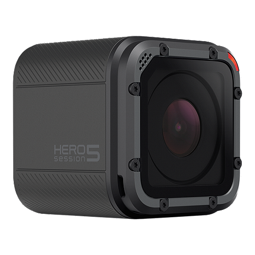
We are just starting to get our feet underneath us for our project and have had to be nimble and responsive.  It took us about 7 weeks to get our equipment finally (8 Macbook Pro Laptops - Mid 2012) 2 GoPro 5 Cameras and many accessories and adapters.

Image result for gopro 5

Image result for gopro 5 session

We are just starting to set up our laptops and are hoping to get some video editing software going and begin to teach our students about capturing good content.  We are excited for our next steps and have a goal of trying to capture some images, videos and interviews to start practicing our new map skills.

Monday, September 24, 2018

Welcome to Parkland's Place Based Map Making Blog!

Aaron Mueller - Teacher-LibrarianShannon Crawford - Teacher / Indigenous Ed SupportErin Stinson - Geography Teacher - IST
Hello!

Erin, Aaron and Shannon are teachers at Parkland Secondary focused on helping our students learn new skills, explore new tools and build a collaborative map of our Saanich Peninsula that highlights and documents geographic features and important W̱SÁNEĆ locations, spaces and localized first nations knowledge.


We are working with many Outdoor Education and Geography classes, first nations students and community members to help build our map together over the years ahead.  We are excited about making this a ‘living project’.